Orienteering
A special orienteering map, a compass and you are off for a sporty outdoor activity, a mental challenge for everyone!
Orienteering is the ultimate sport for everyone and offers great opportunities for relaxation, reflection and competition for sports enthusiasts. Alone or with the family, from children to veterans, there is something for everyone: the chance to wander through nature, discover your territory, find the markings or run as fast as possible on an adapted course.
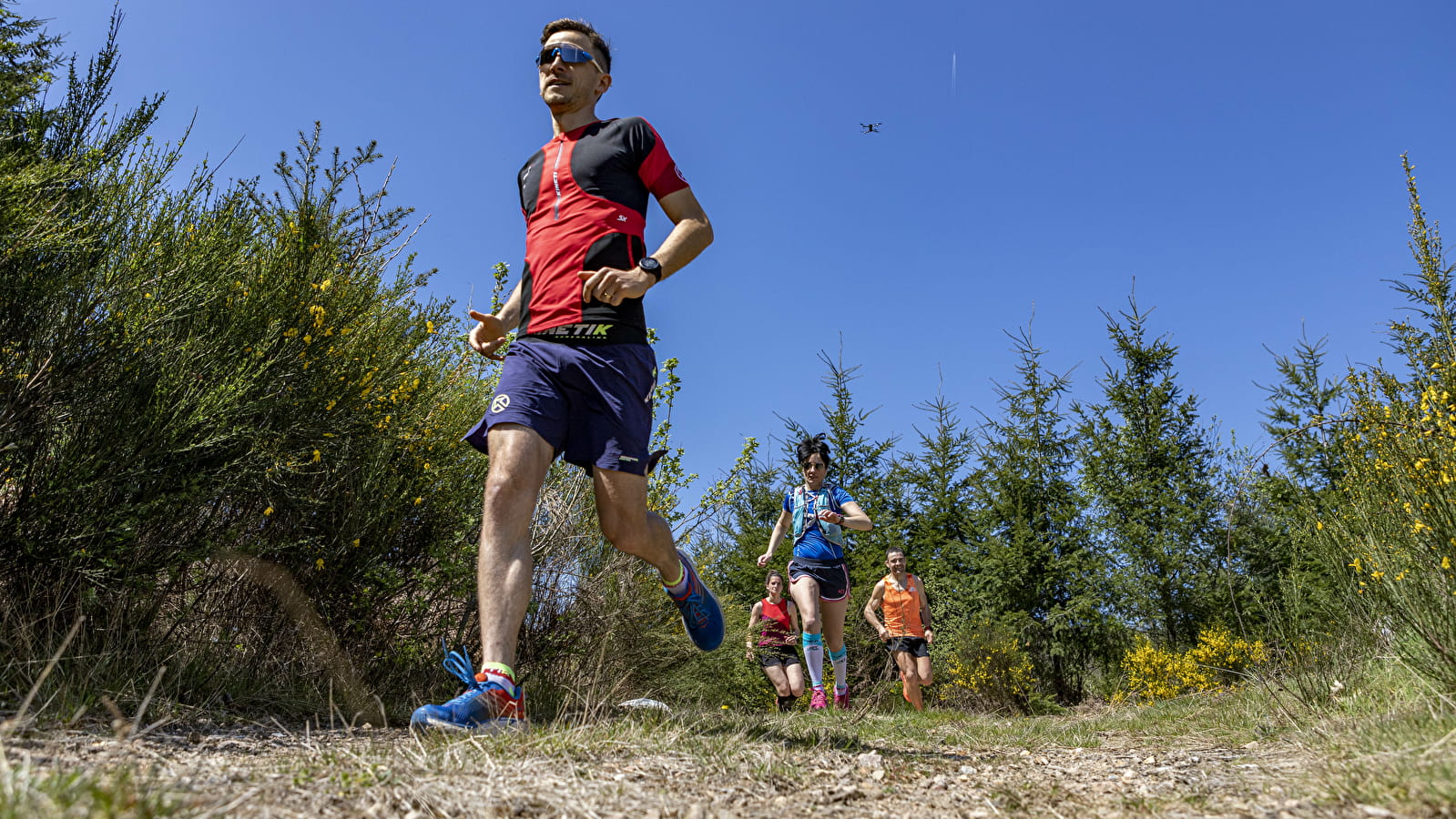
Orienteering is a sport in which orienteers use a map and compass to find their route to checkpoints that form a predetermined course. Orienteering runners rely entirely on themselves to choose their route between checkpoints. The stopwatch is the sole judge: the fastest time wins!
The compass
In its classic form, the orientation compass is a plate with a scale in degrees, which can be rotated. Another more modern form of the compass, developed for competitions, is worn on the thumb to stay closer to the map. Both can be fitted with a small magnifying glass, which is very useful as you get older - orienteering is a sport that can be practised for a long time!
The marker
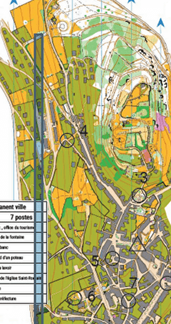
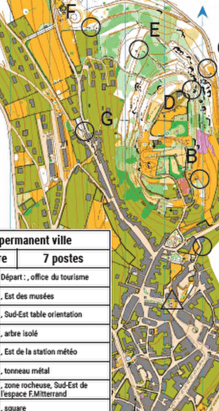
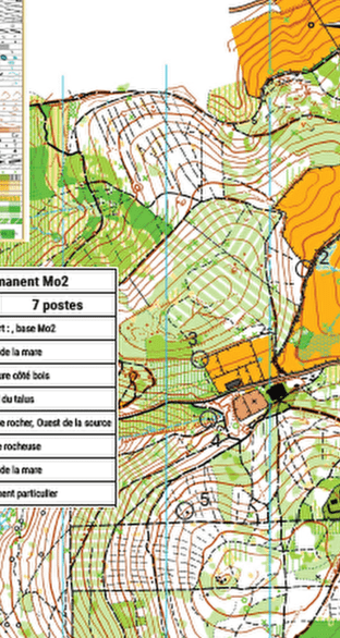
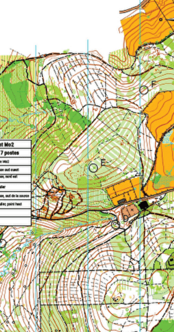
On the map, the marker is marked by a circle at the centre of which is the feature of the terrain chosen by the marker (a rock, a particular tree, etc.). On the map, these markers are connected by a continuous line indicating the route to follow in a predetermined order.
The orienteering map
Orienteering maps use specific maps, the main feature of which is that they are very detailed. The coding of orienteering maps is standardised (symbols, colours, etc.) and identical for all orienteering maps in all countries. The key to a successful route is knowing how to interpret the map. It is therefore essential to know the legend.
The best orienteers can very quickly imagine the relief and terrain features they will encounter just by reading the map.

